UK Ireland Base Map derived from the Oil and Gas Authority's OGA and Lloyd's Register SNS Regional Geological Maps (Open Source) layer
Source:R/spatial.R
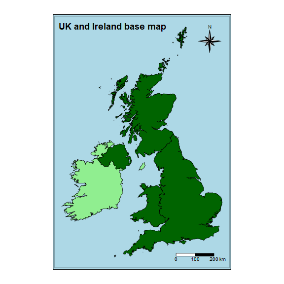
uk_ireland_base_map.RdA simple features data frame of the British and Irish coastline derived from the Oil and Gas Authority's OGA and Lloyd's Register SNS Regional Geological Maps (Open Source) layer.
uk_ireland_base_map
Format
A simple feature data frame with 6 rows and 3 variables
- country
The name of the country.
- uk
Is the country in the United Kingdom or not.
- geometry
The country's polygon geometry.
Source
Created by Owen Boswarva, 2018-07-04. Downloadable from DataAdaptive
Details
UKIrelandIoM_DECC_OSGB36 This dataset contains generalised boundaries for the four countries of the UK, the Isle of Man, and Ireland. The dataset is suitable as a reference for simple background mapping, and is re-usable under the Open Government Licence v3.
This boundary dataset was created from a subset of the DECC_OFF_Coastline_ED50 layer published by the Oil & Gas Authority in the following data package:
OGA and Lloyd's Register SNS Regional Geological Maps Open Data.
The data has been converted from ED50 to OSGB36 and numerous individual polygons have been merged to create a set of polygons for each of Scotland, England, Wales, Northern Ireland, the Isle of Man, and Ireland.
Licence
Open Government Licence v3 (OGL) Attribution: Contains data © 2017 Oil & Gas Authority
Figures
Examples
suppressPackageStartupMessages({
  library(store)
  suppressWarnings({
    library(here)
    library(fs)
    library(tmap)
  })
})

# create temp directory
dir_create(path(tempdir(), "figures"))

# save UK Ireland base map as shape file
uk_ireland_base_map %>% sf::st_write(path(tempdir(), "uk_ireland_base_map.shp"),
                                         delete_layer = TRUE, quiet = TRUE)

# create UK Ireland base map image
uk_ireland <- tm_shape(uk_ireland_base_map) +
  tm_fill(col = "uk", style = "cat", palette = c("lightgreen", "darkgreen")) +
  tm_borders(col = "black") +
  tm_compass(type = "8star", size = 4,
             position = c(0.8, 0.85)) +
  tm_scale_bar(breaks = c(0, 100, 200), text.size = 0.8,
               position = c(0.68, 0.02)) +
  tm_layout(bg.color = "lightblue",
            frame.double.line = TRUE,
            inner.margin = 0.05,
            outer.margin = 0.05,
            legend.show = FALSE,
            title = "UK and Ireland base map",
           title.size = 1.5,
            title.fontface = "bold")

# save UK Ireland base map image
suppressMessages({uk_ireland %>% tmap_save(path(tempdir(), "figures", "uk_ireland_base_map.png"),
                         type = "cairo-png",
                         width = 8, height = 8,
                         units = "in", dpi = 72)})

# move figure from temporary directory
if(dir_exists(here("man", "figures"))) {
  file_move(path(tempdir(), "figures", "uk_ireland_base_map.png"),
            here("man", "figures", "uk_ireland_base_map.png"))
}