A list of OSGB 10km, 2km and 1km grid squares with the dominant vice county that overlaps the grid square and list of all vice counties overlapping the grid square at the vice county borders.
vc_grid_square_intersects
Format
A tibble with 363518 rows and 5 variables.
- grid_square
OSGB 10km, 2km or 1km grid square.
- precsion
Precision of grid square in metres.
- vc_dominant
Dominant vice county number occupying the largest grid square area.
- vc_count
Number of vice counties overlapping the grid square.
- vc_list
Hash separated list of vice counties numbers overlapping the grid square.
Figures
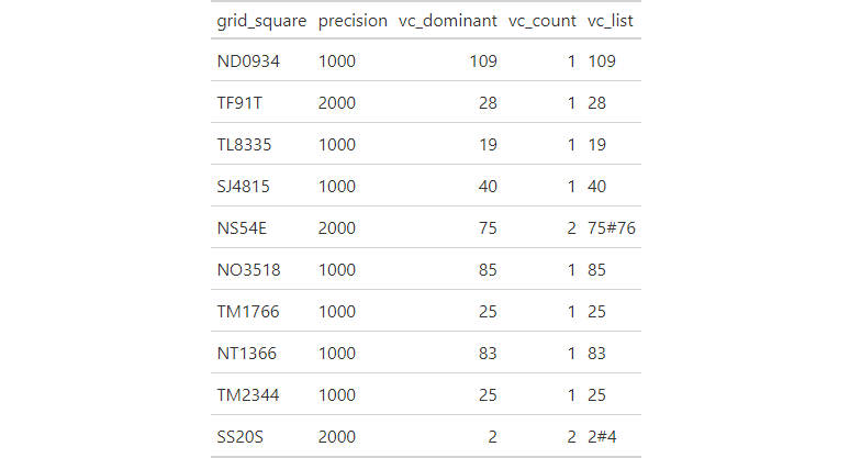
Sample of 10 rows from vc_grid_square_intersects dataset.
See also
The list of British vice-counties can be downloaded from the Biological Records Centre website, with the vice-county boundaries downloaded from Biological Records Centre's github page.
Examples
suppressPackageStartupMessages({
 library(store)
 suppressWarnings({
  library(dplyr)
  library(gt)
  library(here)
  library(fs)
  library(pagedown)
 })
})

# create figures directory
dir_create(path(tempdir(), "figures"))

# create html table
vc_grid_square_intersects %>%
  slice_sample(n = 10) %>%
  gt_preview(top_n = 10, incl_rownums = FALSE) %>%
  gtsave(path(tempdir(), "figures", "vc_grid_square_intersects.html"))

# convert to image
chrome_print(path(tempdir(), "figures", "vc_grid_square_intersects.html"),
             format = "png")

# move image
if(dir_exists(here("man", "figures"))) {
  file_move(path(tempdir(), "figures", "vc_grid_square_intersects.png"),
            here("man", "figures", "vc_grid_square_intersects.png"))
}